

|
Maps of the region
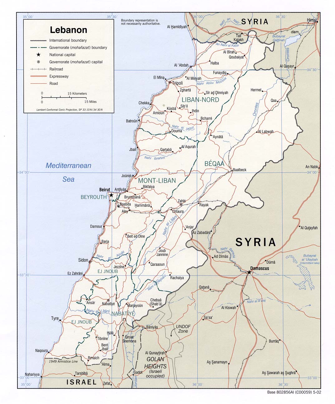
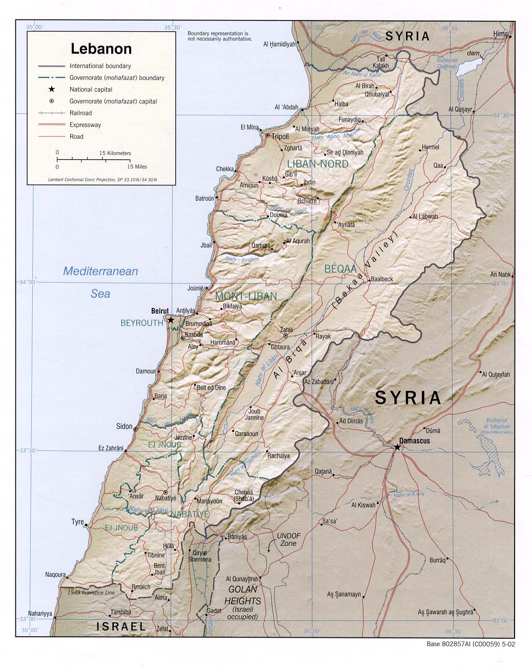
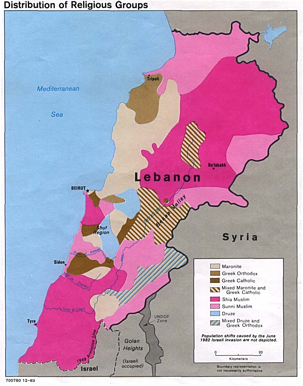
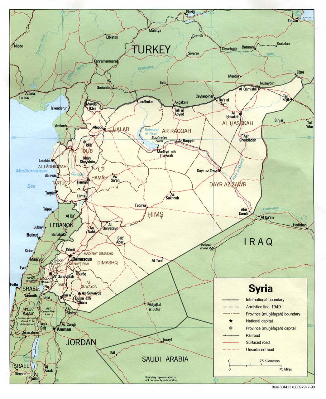
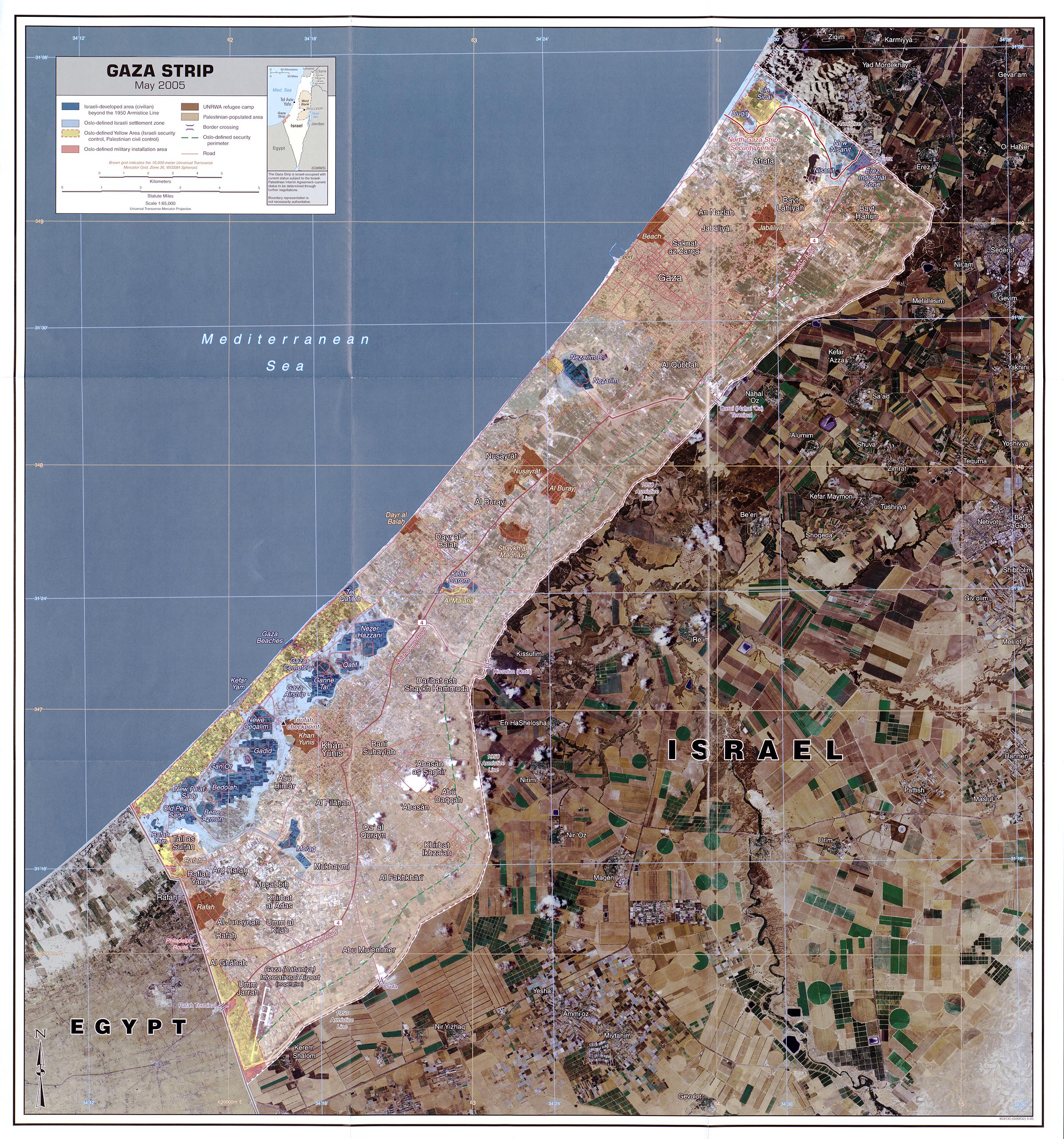
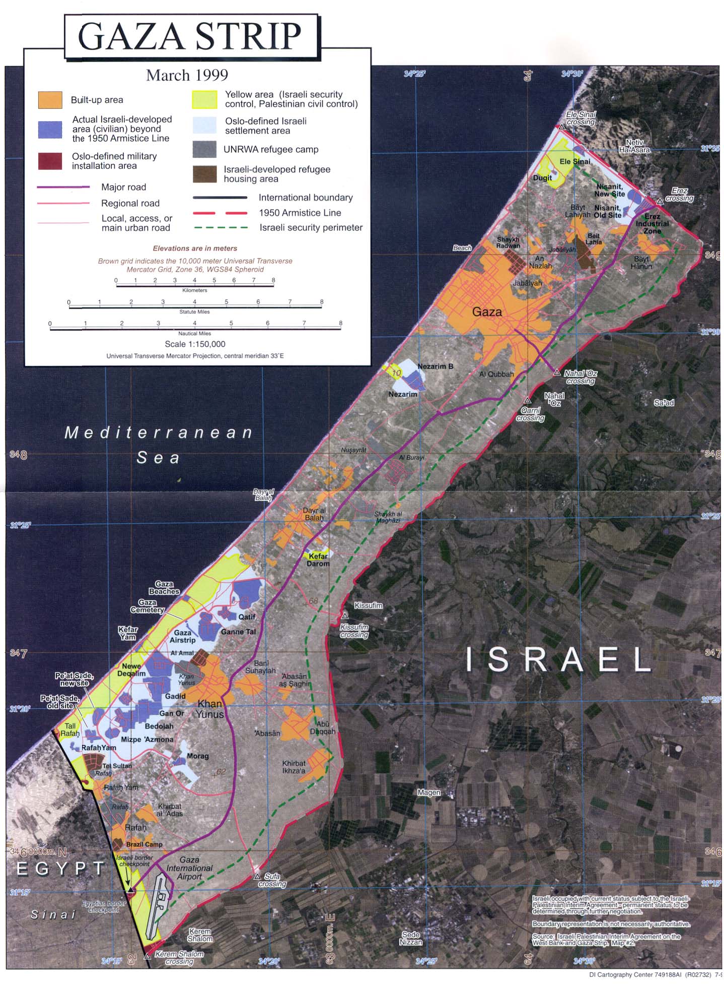
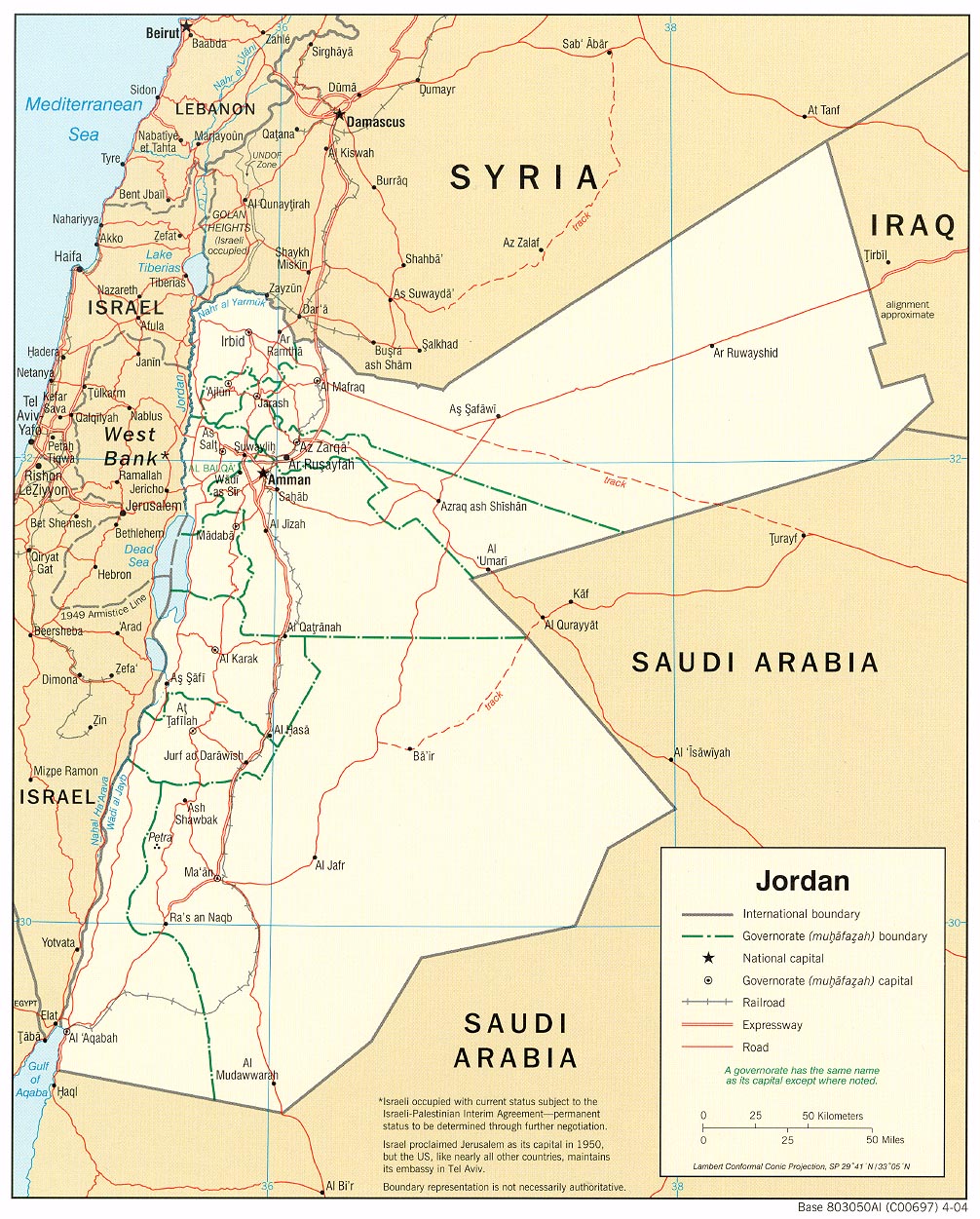
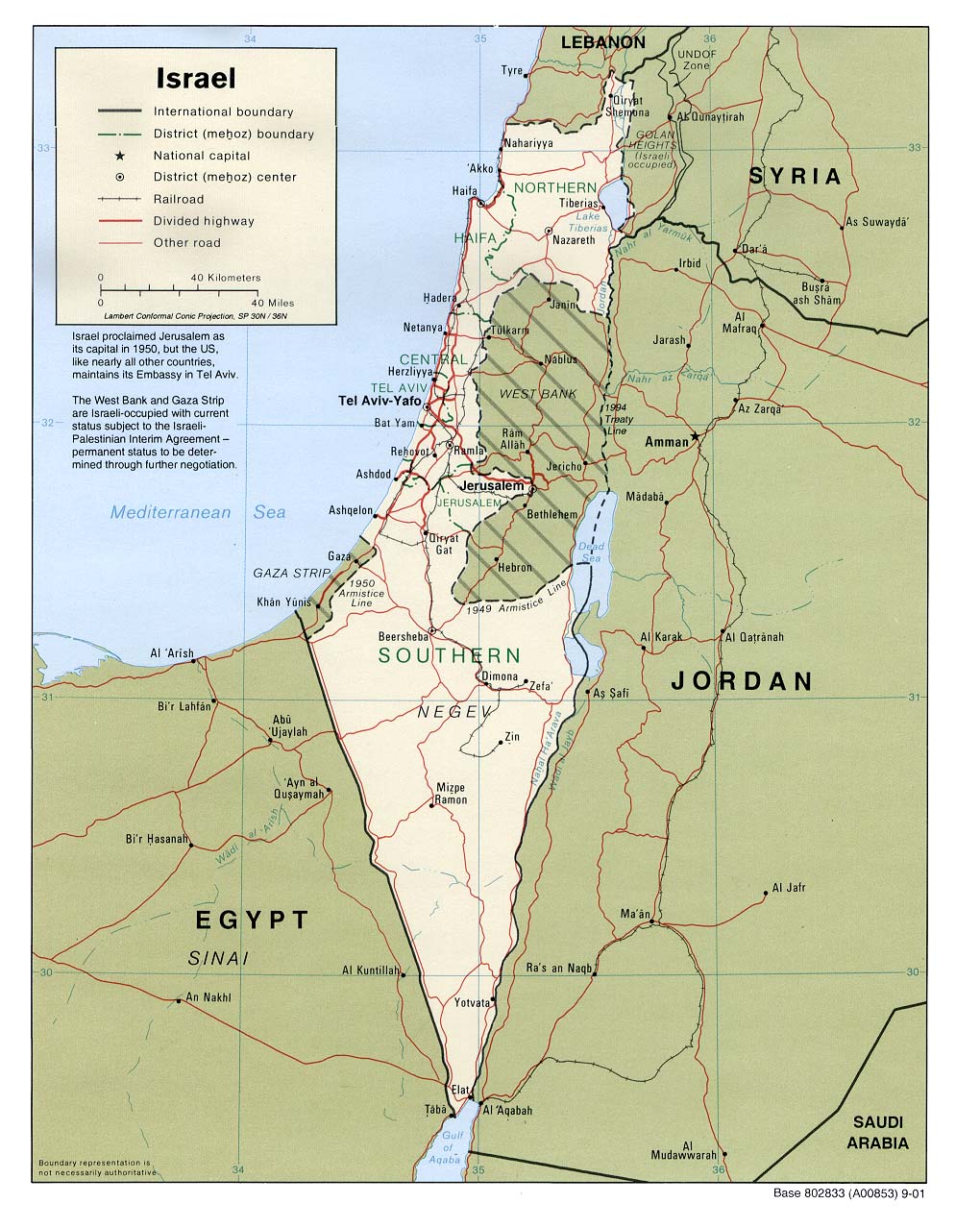
Thought it might be useful to link to one of the better resources on the web, the University of Texas Libraries Perry-Castañeda Library Map Collection. Some maps of interest:Lebanon, political map, 2002. Lebanon, shaded relief, 2002. Older, 1983 map of Lebanese religious demographics. Added: Bill Roggio's map as noted by Sherry in the comments. Syria, political map, 1990. Gaza land use, May, 2005 (very large, 1:65,000!). Gaza, use and political demarcations, 1999 (1:150,000). Jordan, political map, 2004. This actually has a better look at northern Israel and Lebanon than the usual Israel maps. Israel, political map, 2001. Debka's map of airstrikes and missile hits, July 15th. Posted by: Steve White 2006-07-18 |
| http://www.rantburg.com/poparticle.php?ID=159893 |