| Submit your comments on this article |
| Iraq-Jordan |
| Homeland Security Technology Offers GPS Systems With Iraq Street Maps To US Armed Forces |
| 2005-05-06 |
| Colonel Jeffrey A. Powers, CEO of Homeland Security Technology, announced last Thursday that HST has signed a marketing/reselling agreement with GPS World Supply of West Chicago, IL, to offer an exclusive line of rugged, custom packaged GPS devices to the US Armed Forces. These GPS devices are designed for use in Iraq and Afghanistan and come pre-loaded with maps and databases for those specific locations. These units offer a solution to an immediate need for personnel working in Iraq and Afghanistan. Survival and mission accomplishment is dependent upon maintaining situational awareness. This technology is readily available and can be quickly fielded. These units have the ability to display Military Grid Reference System (MGRS), in addition to LAT/LONG coordinates. "We have been field testing these models in Iraq with civilian security contractors and have modified our offering based on their after action reports. We have recently added Afghanistan databases due to operational commitments of units requesting our GPS," said Colonel Powers. Speaking as to HST's relationship with GPS World Supply Colonel Powers commented, "Entering into an agreement with GPS World Supply makes our offering of pre-packaged, pre-loaded GPS models very unique. "We are happy to be on board and have been working very hard in concert with GPS World Supply to provide our troops in the field with what they need the most ... the very best equipment available on the market today." |
| Posted by:God Save The World |
| #7 Well, I'm probably just talking out my butt on the first comment because I have no idea what systems they're using. I'm sure there's some group out there that's tasked to create some detailed electronic maps of all our potential adversaries since GPS is such a useful and major technology. But I've also seen that many of the troops wind up buying their own GPS receivers, from manufacturers like Garmin, Magellan, et al. I've not seen that the format of the e-maps supported by the various makers are compatible, and I seriously doubt they are due to licensing concerns. I'd be curious to know if these HST-supplied e-maps are offered in more than one format so troops can get the appropriate set for their receivers. |
| Posted by: Dar 2005-05-06 16:13 |
| #6 However I don't expect anyone has done such detailed mapping for Iraq or Afghanistan yet (although they may have several of the larger, individual cities surveyed). Maybe not, yet, but Iran and N. Korea on the other hand... |
| Posted by: Don Rumsfeld 2005-05-06 14:49 |
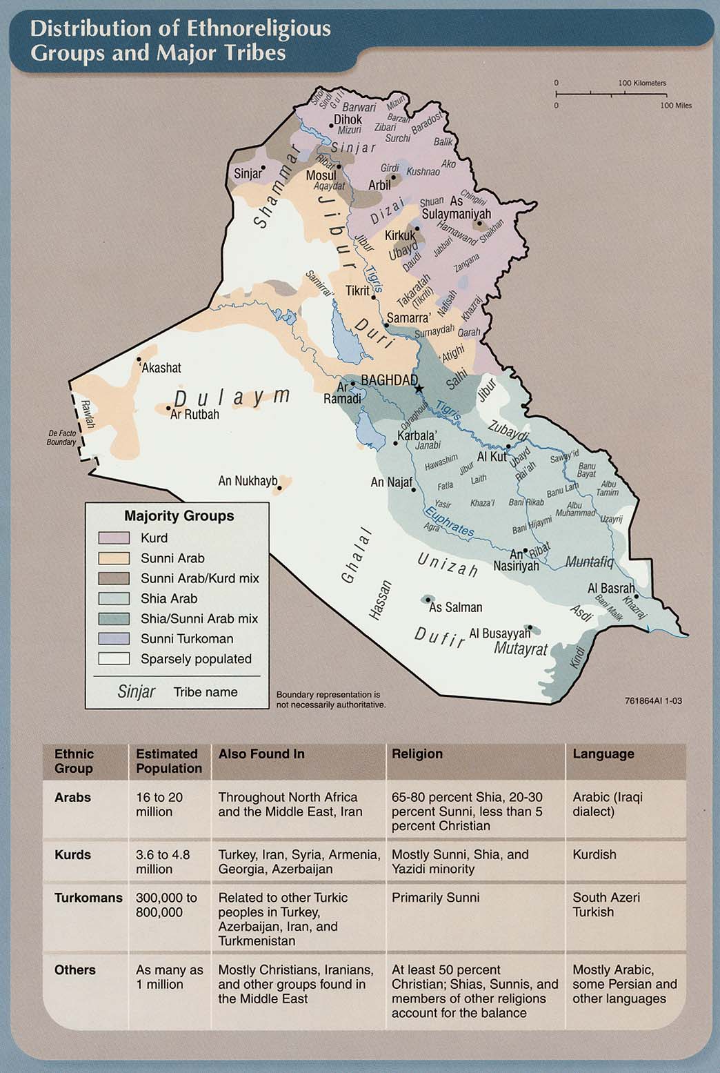
| #5 lex - Here's one to start with. There's another I've seen that might be better - with depth about the tribes - I'm still trying to locate it, lol! Organzied? Who, me? Pfeh, lol! |
| Posted by: .com 2005-05-06 12:26 |
| #4 A social map of Iraq is what we really need. Clans, networks, hierarchies, circles of influence, mullahs and their followings, etc. |
| Posted by: thibaud (aka lex) 2005-05-06 12:05 |
| #3 How hard can it be to link GPS coordinates to aerial or sattelite photographs of an area, especially once you're on the ground there? |
| Posted by: Mrs. Davis 2005-05-06 11:50 |
| #2 I suppose it's too much to hope for that they have detailed road maps for these GPS units at this early stage. Even an eTrex would be of some use. |
| Posted by: Bomb-a-rama 2005-05-06 11:27 |
| #1 I suppose it's too much to hope for that they have detailed road maps for these GPS units at this early stage. I have such a device (a Garmin StreetPilot III) and maps for the continental US that are a godsend when it comes to navigating in a strange city, as far as finding a specific address, finding alternate routes around construction or traffic jams, and just determining in general where a given road goes. I would think these would be ideal for military units planning roadblocks, ambushes, and pursuits. Yes, I'm sure they have traditional maps for this, but having a device with a computerized map updating your location and direction every second trumps the paper maps everytime when you're in a hurry. However I don't expect anyone has done such detailed mapping for Iraq or Afghanistan yet (although they may have several of the larger, individual cities surveyed). |
| Posted by: Dar 2005-05-06 10:50 |